Scroll Top
HOME
OUR OFFERING
ARTICLES
ABOUT US
CONTACT
English
Français
Deutsch
HOME
OUR OFFERING
ARTICLES
ABOUT US
CONTACT
English
Français
Deutsch
News & Articles
From use cases
to technology insights
News & Artikel
Von Anwendungsfällen
zu Technologieerkenntnissen
Nouvelles & Articles
Des cas d'utilisation
aux aperçus technologiques
Digital Trust in IoT and Smart Buildings – How to Build Confidence in the Connected World
Read More
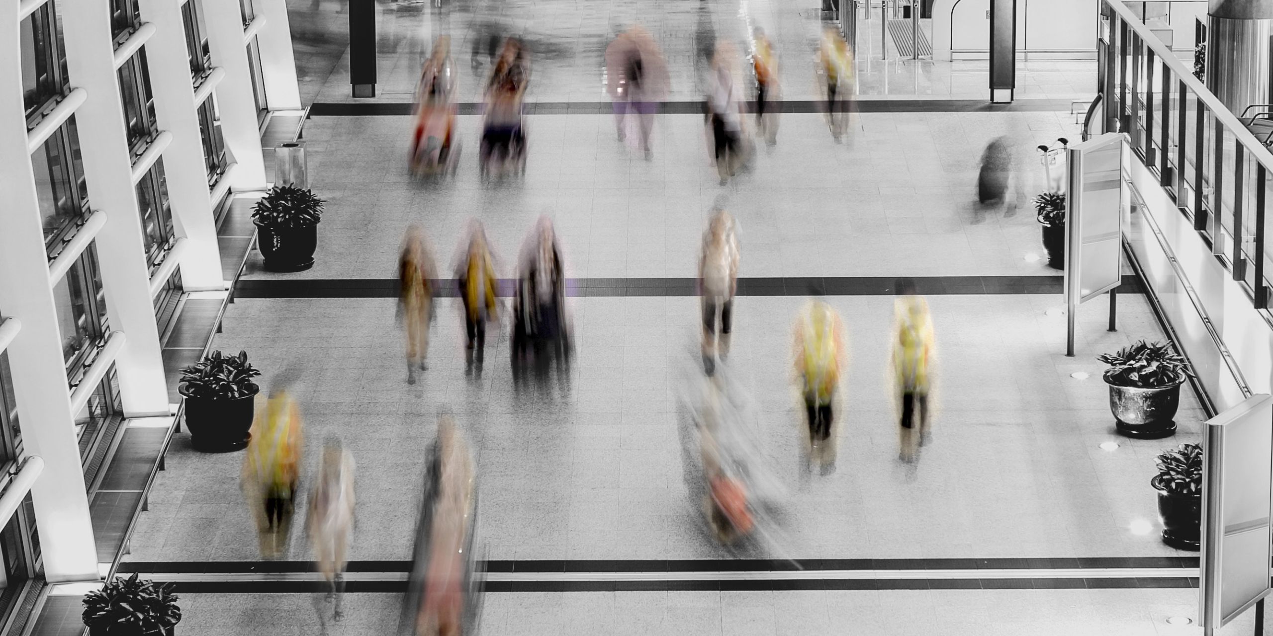
People Counting is the New Megatrend Driving the Next Wave of IoT
Read More
The Psychology of Waste: Why We See the Light, But Not the Air
Read More
Mastering People Occupancy Counting
Read More
Why LoRaWAN is the best solution for Smart Buildings
Read More
Understanding and Supporting People Counting Needs
Read More
The accuracy of FLOW: beyond the claims
Read More
Mastering People Flow Counting: Understanding Movement for Optimized Operations
Read More
Why energy-per-person is the metric the future demands
Read More
What’s the connection between Net-Zero buildings and the risk for the Real Estate industry?
Read More
Posts pagination
1
2
…
10
Next
Posts pagination
1
2
…
10
Nächste
Posts pagination
1
2
…
10
Suivant
FILTERS
FILTERS
Filtres
Filters
Filters
Search
×
Products
Use cases
Technology
Events
Privacy
Max Ruffo
Show
(
96
)
Cancel